OERAD EASYRAD GPR DIPOLO – Dotazione PRO
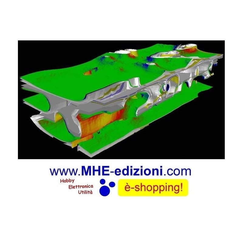
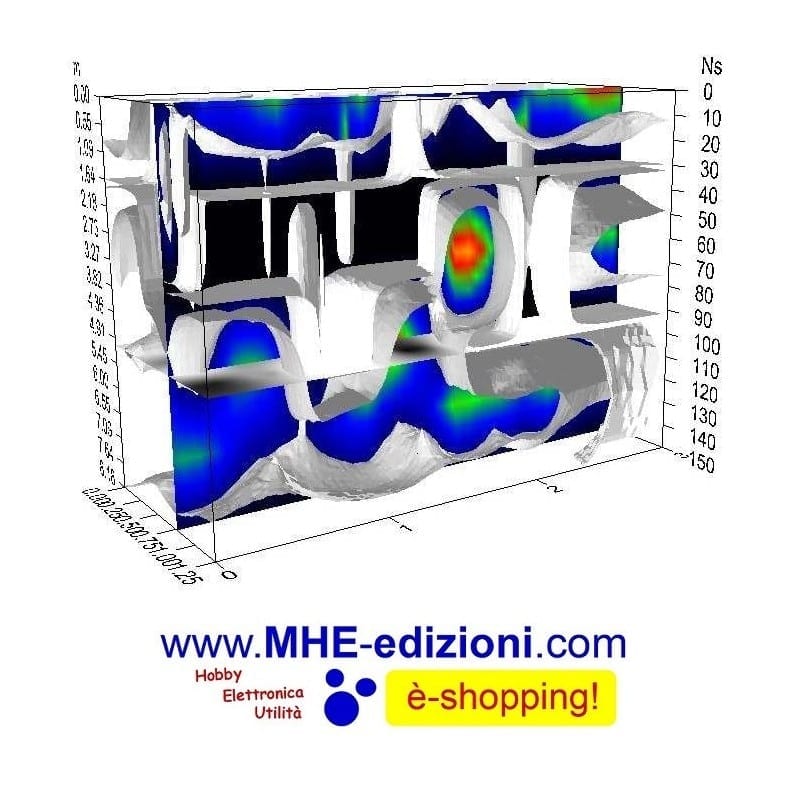
IN-DEPTH SURVEYING Know where to dig
- Accurate survey data with no material destruction
- A tool to detect and predict geophysical phenomena
- The eyes to see long lost cities, tools and manmade structures
- The ease and excitement of surveying
Description
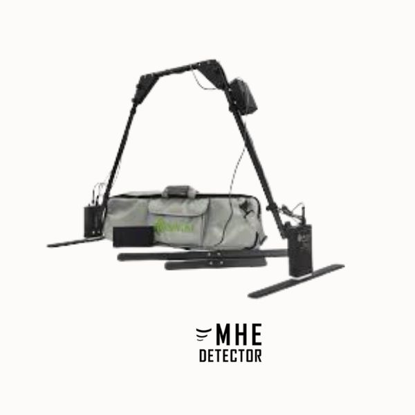
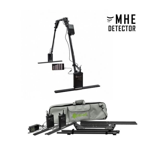
OERAD DIPOLO – PRO GPR Georadar Professional Equipment – 3-Antenna Kit
Georadar Dipole with 3-Antenna Kit (100 mhz + 300 mhz + 500 mhz), Carrying Bag, Data Acquisition Software, Charger, USB Cable, Integrated Wireless System, and Tablet included for subsurface scans up to 20 metres!
Applications: ARCHAEOLOGY; INDUSTRY; ENVIRONMENTAL SURVEYS.
Handy and lightweight, the complete system weighs only 3 kg, equipped with a wireless system and Windows or Android software, this version comes with three antennas for the full range of frequencies, depths and uses.
The OERAD EASYRAD Dipole can be used in rough terrain and for archaeological and geological surveys.
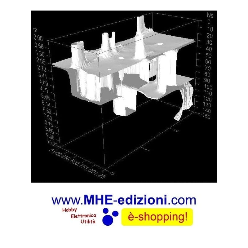
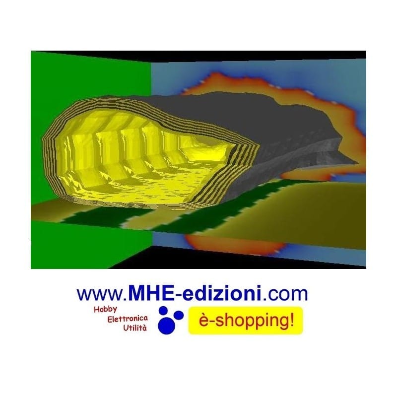
It is extremely useful for investigations of tunnels, buried cavities, water courses, perimeter walls, subsurface mapping and outdoor surveys.
CAN BE USED WHERE NO WHEELED OR DRAGGED GEORADAR CAN REACH.
IT ALSO WORKS ON UNEVEN TERRAIN AND UNEVEN SURFACES, AND CAN BE USED IN RUINS, FORESTS AND DENSE VEGETATION.
APPLICATIONS AND USES:
Detection of inhomogeneities in the subsoil structure of soil associated with archaeological finds;
Non-invasive diagnosis of subsurface soil conditions in urban areas and industrial sites;
Moisture estimation, detection and saturated zone mapping, functional for flood assessment, void detection and soil decompression;
Assessment of the subsurface structure of dams, coastal fortifications, embankments (assessment of soil layer moisture and degree of decompression).
Monitoring the condition of road surfaces, soils and embankments under railway tracks.
Evaluation and diagnosis of underground structures, both for archaeological identification and for assessing
of ground conditions, e.g. to identify landslides, mapping their distribution areas.
Mapping of contaminated soils, landfills and industrial waste.
Mapping of distribution areas of liquid petroleum products (lenses) following unauthorised leaks and accidents below the surface of industrial areas.
Mapping of underground communication structures (cables, pipelines, archaeology and other underground structures).
Determination of the condition of foundations.
Mapping of the investigation area during mine clearance, search and rescue.
Determination of the depth and profile of the bottom of rivers and lakes, the thickness of ice and snow, the detection of submerged objects.
Identification of metallic and non-metallic objects and underground cavities.
PRO equipment:
GPR Dipole system;
2 x 500 Mhz antennas, depths up to approx. 6 metres;
2 x 300 Mhz antennas , depth up to approx. 12 metres;
2 x 100 MHz antennas , depth up to approx. 20 metres;
Tablet preconfigured with software included and ready to use;
Software for real-time display;
Kit for assembly and disassembly of components;
Assembly and use manual;
Georadar GPR Battery / autonomy approx. 5 hours;
Double Georadar GPR Battery / autonomy approx. 10 hours;
Soft, compact carrying case;
Unlimited after-sales service;
Warranty: 5 years covering electronic parts;
1 free practical course on software and hardware acquisition and use of the Georadar.
Unique functional features:
Simplicity and ease of use of the facility detection and profiling device;
“Live View” – indication of detection and profiling results in real time on the screen;
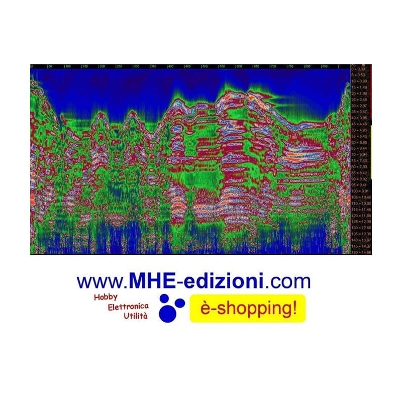
Ability to analyse electrical characteristics, moisture and propagation velocity in soil layers, and remarkably accurate determination of the depth of soil inhomogeneity boundaries;
Determination of physical characteristics, subsoil structure inhomogeneities and moisture distribution in depth;
Possibility of separating reflected signals from low-contrast layers (groundwater level, liquid petroleum product layer, etc.) at depths of up to 15 to 20 metres;
solving geological engineering problems. Non-invasive diagnosis of the state of the subsurface soil in urban areas, industrial sites and some unique structures (strata moisture estimation, identification and mapping of the distribution of the unsaturated zone, flood assessment, detection of voids and soil decompression).
Assessing the subsurface structure of soil dams, coastal fortifications, embankments (moisture assessment of soil layers, the degree of decompression).
Monitoring the condition of road surfaces, soil and embankments under tracks;
Assessing and diagnosing the subsurface structure and ground conditions of landslides, mapping their distribution areas and assessing their sustainability.
Mapping the distribution areas of liquid petroleum products (lenses) as a result of unauthorised leaks and accidents under the surface of industrial and technological areas.
Mapping of underground communication structures (cables, pipes, tunnels);
Determination of the condition of foundations and construction structures of existing facilities.
MHE DETECTOR
Noleggio e Vendita Metal Detector,
Georadar, Geoscanner, Sistemi di Individuazione Integrati.
Mobile: 392-92.07.751
info@mhe-detector.com
Related products
-
PULSE 12 UNDERWATER METAL DETECTOR
9.100,00€ -
Nokta Jeotech Led System
1.300,00€ -
NOKTA Gold Racer PRO
749,00€


